Geological map sheets of the Baltic Sea to download
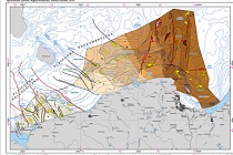
 Geological mapping is one of the basic tasks of PGI-NRI. For Polish sea areas, these tasks are carried out at the PGI-NRI Marine Geology Branch in Gdańsk. Work on the first cartographic study on a scale of 1: 200,000 began in 1983 and ended in 1995. The result of these works was the development of 12 sheets of the "Geological Map of the Baltic Sea Bottom" with explanatory texts.
More SMGP sheets on the internet
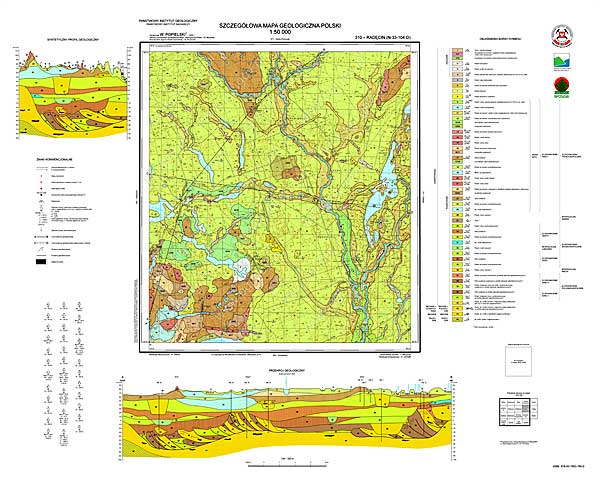
 In 2020, the process of putting into service the next final products of the Detailed Geological Map of Poland on a scale of 1: 50,000 was continued. In 2020, new 12 SMGP maps sheets were made available, therefore, currently 1062 map sheets are ready for download from the Internet.
Research project of PGI-NRI among laureates of the Polish-French PHC Polonium Research Program
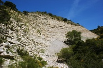
 The project entitled "Holostratigraphy and palaeoenvironmental changes in the interval of the Berriasian / Valanginian boundary (140-135 Ma) in France and Poland", headed by Jacek Grabowski, PhD, of the Polish Geological Institute-NRI, will be carried out as part of the next edition of the Polish-French scientific research program PHC Polonium.
Balance of prospective mineral resources of Poland
 The Balance of Prospective Mineral Resources of Poland dated the 31st of December, 2018, is now available online. In it, the Polish Geological Institute - National Research Institute (PIG-PIB) presented information on the prospective and forecast resources of deposits that could potentially constitute Poland's raw material reserve.