ENGINEERING GEOLOGY
Design and execution of geological and engineering surveys, construction site investigations, assessment of geological and engineering conditions, fieldwork, mapping, expert and consulting services
Design and execution of geological and engineering surveys, construction site investigations, assessment of geological and engineering conditions, fieldwork, mapping, expert and consulting services

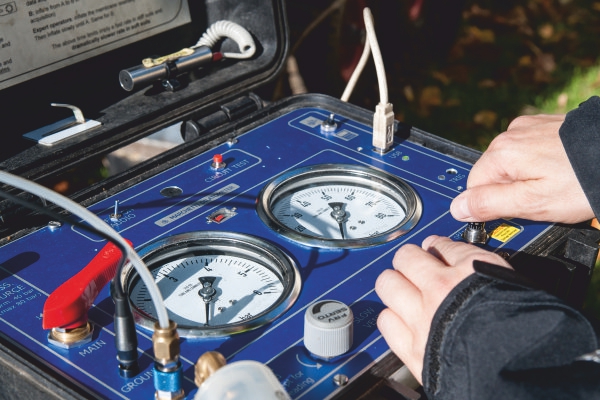
Advanced soil and rock investigations for determining geological and engineering conditions and characterizing the geological subsurface of a construction site
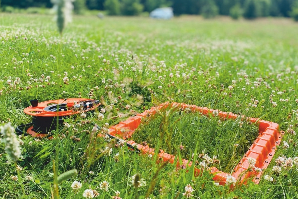
Advanced tools that use modern technology to image the soil and rock structures, determine its physical and mechanical properties, and identify the ongoing processes within it
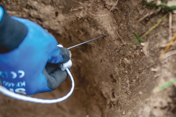
Advanced methods to help determine the optimal locations for ground-source heat pumps and thermal energy storage systems, database management, and mapping
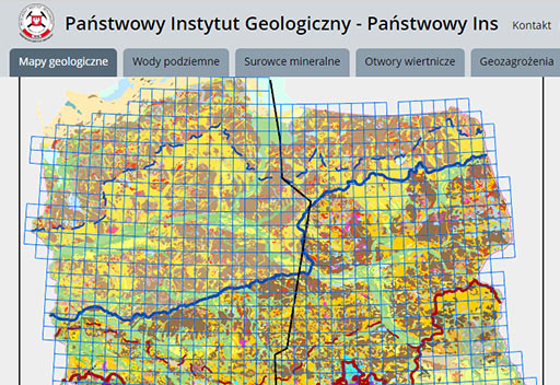
This browser provides access to detailed information from the largest geological database - CBDG (Central Geological Database)
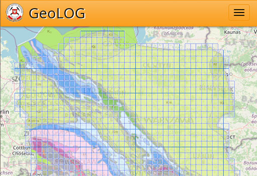
This browser provides access to detailed information from the largest geological database - CBDG (Central Geological Database)
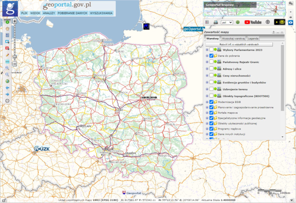
This service serves as the central hub of the Spatial Information Infrastructure, facilitating access to spatial data and related services
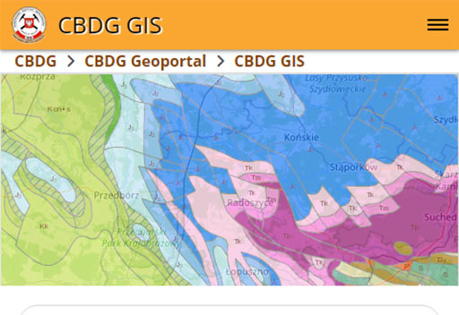
This application is used to efficiently search, view, and download CBDG . (Central Geological Database) resources available online, including WMS and WFM services
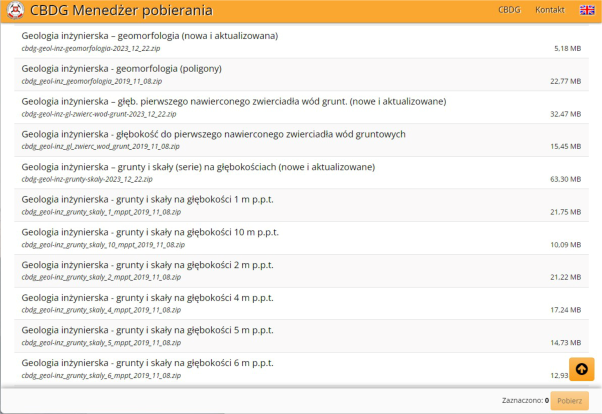
The CBDG Download Manager application provides free access to spatial data for download in the form of SHP (Shapefile) files from CBDG resources. (Central Geological Database)
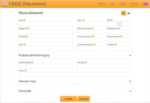
This application is used to search for information on archived geological documentation held in the Central Geological Database (CBDG)
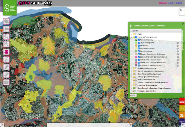
(The General Directorate for Environmental Protection) A website presenting spatial data concerning, among other things, nature conservation areas in Poland

This data portal is a source of reliable, regularly updated data, made available free of charge for reuse
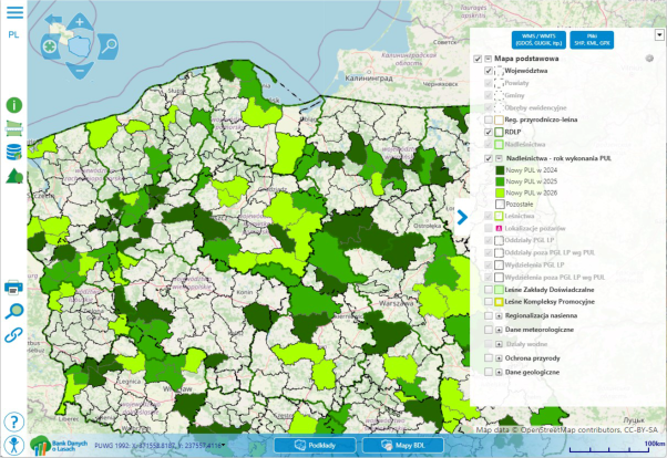
The portal’s main purpose is to provide information on the condition of forests and development forecasts in the form of descriptive and spatial data