


 In CBDG, spatial data is especially important. This type of data is universal and fundamental, because in fact all geological data have a reference to a location in space, i.e. they have a spatial component. In CBDG, regardless of the specific field of geology, all domain subsystems use one consistent IT solution that allows you to manage this data. One of the main tasks performed by this system is sharing the collected data.
This sharing is done in several ways:
The new CBDG GIS application combines all of these methods. It is the successor of the application "CBDG - WFS and WMS services", extending and modernizing its possibilities. First of all, it uses a new solution for the map window. It uses a proven component that has long been used in the GeoLOG mobile application. Thanks to the CBDG GIS application, in one place, at gis.pgi.gov.pl, the user will be able to:
- browse the content of the data set in the map window and test the speed of the served map services,
- copy the link of the required network service (WMS, WFS, REST),
- order spatial data for download as a packed SHP file.
The latter functionality is implemented through another application, CBDG Download Manager, because it is responsible for the process of handling orders for SHP files. On the other hand, the CBDG GIS application only acts as an intermediary in this operation via a pop-up form for ordering files.
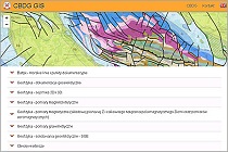
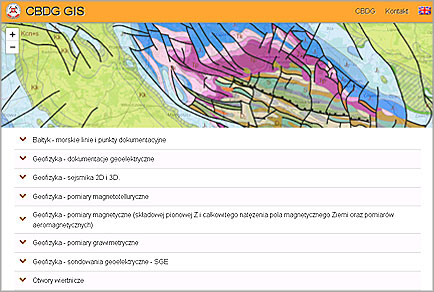
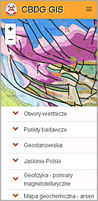
The application includes a very long and expanding list of spatial data sets from various fields of geology. They are grouped thematically, for example: Mineral resources, Geophysics, Hydrogeology, Baltic and others. A quick search for the necessary information is possible thanks to the search window, where, after entering a few letters, the user can easily reach a specific information resource. The case of the entered letters does not matter.
The CBDG GIS application mainly supports data from CBDG, as well as from other PIG–PIB servers: Hydrogeology and Environmental Geology. The CBDG GIS application is adapted to use on mobile devices and meets the currently required accessibility standards, it is also available in English.
A video presenting the most important information of the application CBDG GIS (6 min.)
 PGI-NRI offer
 Mineral resources of Poland
  Oil and Gas in Poland


 Subscribe to RSS Feed