Strategiczna współpraca PIG-PIB z Tarnowskimi Górami: nowy rozdział w rewitalizacji terenów poprzemysłowych
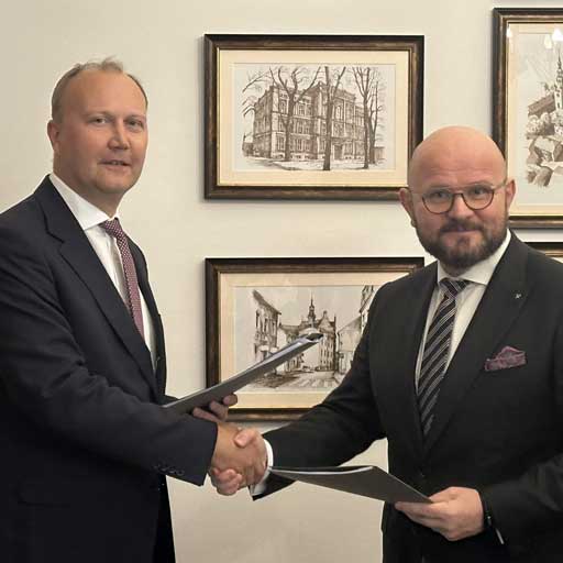
Oddział Górnośląski PIG-PIB podejmuje strategiczną współpracę z Tarnowskimi Górami i stara się by podjąć taką współpracę z Jaworznem – w trosce o bezpieczne środowisko i zrównoważony rozwój.
PGI-NRI staff have completed prospecting work in the Taishir area in western Mongolia
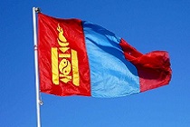 The work of another expedition to Mongolia, whose aim was to search for critical raw materials (Mo and W) in the vicinity of Taishir, has been completed. The expedition lasted from 14 June to 4 July 2025.
International climate challenges with the participation of PGI-NRI – report on the work of the expert delegation in Bonn
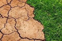 From 15 to 26 June 2025, the 62nd annual session of the Subsidiary Bodies of the United Nations Framework Convention on Climate Change (UNFCCC) was held in Bonn (Germany) at the UN World Conference Centre.
Design meeting of EMODnet-Geology project implementers
 On 3-6 June 2025, employees of PGI-NRI from the Division of Marine Geology in Gdańsk took part in a meeting of EMODnet Geology project participants, which was held in Reykjavik, Iceland. The meeting was hosted by the Iceland GeoSurvey (ÍSOR/Íslenskar orkurannsóknir) and held at the University of Iceland.
 PGI-NRI offer
 Mineral resources of Poland
  Oil and Gas in Poland


 Subscribe to RSS Feed