


 A Polish expedition led by the Polish Geological Institute-NRI aimed at regional exploration of deep-sea areas in the North Atlantic has been successful.
The scientific research cruise took place from August 13th to September 15th, 2022 aboard the US research vessel Ocean Titan, in fulfillment of a contract between the Government of the Republic of Poland and the International Seabed Authority (ISA). The research covered the entire area of the Polish exploration concession located within the Mid-Atlantic Ridge, between the three Hayes, Atlantis and Kane transform faults. The work resulted in the realization of the established research plan, which confirmed PGI-NRI's ability and readiness to conduct and acquire data in deep-sea areas.
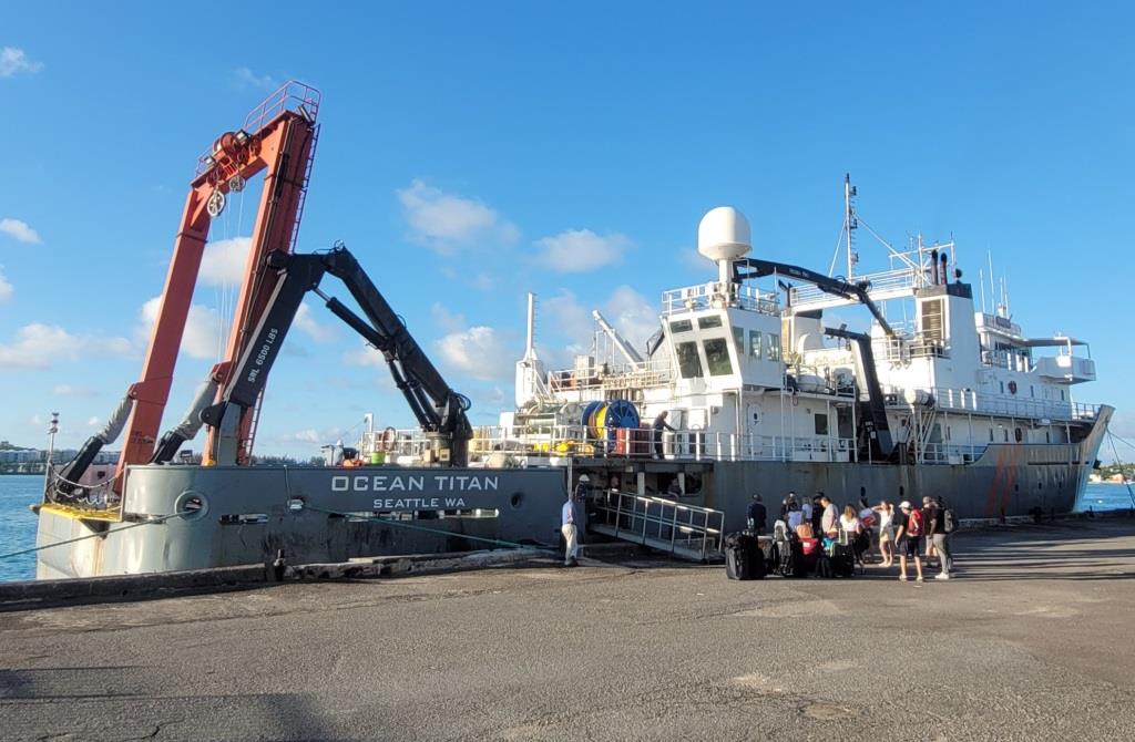
Research vessel Ocean Titan
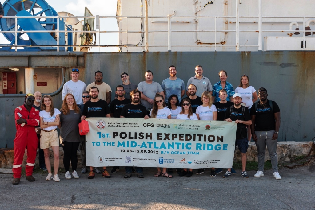
Group photo of cruise participants
During the cruise, a total of 2,084 km of profile lines were made at depths ranging from about 800 m to about 4,700 m, allowing data acquisition from an area of more than 10,000 km2. During the first phase of the cruise, the focus was on mapping all the exploration blocks, which made it possible to acquire information on bottom conditions within the Mid-Atlantic Ridge. As a result, a high-resolution bathymetric image of the ocean floor was obtained, for which the coverage of the seafloor by the survey point cloud reached more than 99.7%.
The data made it possible to identify key ocean floor morphological structures not visible on previously available models. The analysis made it possible to confirm the existence of two new OCC’s (abbr. from Oceanic Core Complex), prospective for polymetallic precipitates. These areas were selected during the ocean floor morphostructural analysis performed by PGI-NRI in 2020. It is likely that further detailed geological and environmental studies will be concentrated within these units.
Based on the morphostructural analysis carried out onboard the ship, seven locations were selected as prospective areas for the occurrence of hydrothermal activity and associated accumulations of massive sulfides. During the second phase of the cruise, detailed analyses of the physical and chemical properties of the water column were carried out within these areas to identify hydrothermal anomalies.
A total of 58 km of profiling the water column in the 50 - 250 m interval above the bottom was carried out using, among other things, NOAA/PMEL's Miniature Autonomous Plume Recorders (MAPRs), with which analysis was carried out at several depths simultaneously. In addition, at fourteen selected research stations, the aforementioned measurements were made for the entire water column. As a result of the research, the first ever survey data was obtained from the Broken Spur and Lost City hydrothermal fields, simultaneously confirming the methodology adopted for identifying high- and low-temperature hydrothermal fields. The remaining areas did not show hydrothermal activity, which is important in light of the developing ISA regulations for the Mining Code and Regional Environmental Management Plans.
Through the use of sonar beam backscatter intensity data and sub-bottom profiler-derived seismoacoustic profiles (sub-bottom profiler), areas of marine sediment deposition were identified, the location of which is valuable and will be used in the planning of the next cruise, the purpose of which will include the collection of research samples from the ocean floor and water column.
In addition to experts from Ocean Floor Geophysics (OFG) and the Polish Geological Institute - NRI, the cruise was attended by representatives of the Ministry of Climate and Environment, as well as scientists from the Maritime University of Technology in Szczecin, the Institute of Geological Sciences of the Polish Academy of Sciences, the Institute of Oceanography of the University of Gdańsk and the Adam Mickiewicz University in Poznań, as well as researchers from Tanzania and Bangladesh designated by the International Seabed Authority. The experience and range of specializations of the cruise participants, as well as their openness to new challenges, created very good conditions and a working atmosphere for improving competence in the planning of survey work, data acquisition, processing and verification, as well as interpretation of the obtained results.
During the cruise, a number of presentations and discussions were held with international experts involved in the research. These individuals have many years of experience and a publication record in the exploration and identification of massive sulfides and in the exploration of hydrothermal areas in the regions of the Bismarck Sea and Mid-Atlantic Ridge. The meetings primarily served the purpose of proper inference for the identification of prospective areas for the occurrence of massive sulfides. As a result, knowledge was also gained on effective measurement techniques and methods for the detailed identification of prospective areas for the next stage of prospective exploration using ROV equipment and AUV missions.
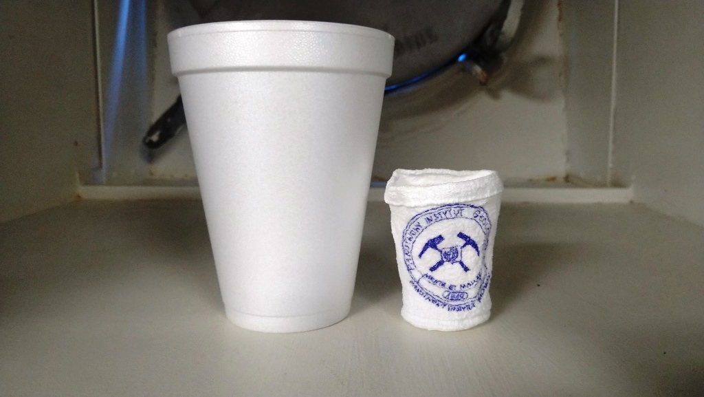
Styrofoam cup shrunk under pressure at a depth of 3000 m
The participants of the PGI-NRI expedition extend their thanks and appreciation to the LOT Polish Airlines Group Offer Team for the support received during the task.
Text: Michal Tomczak, Agata Kozlowska-Roman, Lukasz Smajdor
Translated by: Tomasz Trzpil
The research is being carried out as part of the framework of the "Scientific and research service to search for and identify areas of occurrence of polymetallic massive sulfide deposits on the Mid-Atlantic Ridge" task and was financed by the National Fund for Environmental Protection and Water Management (Contract No. 2190/2021/Wn-07/FG-SM-DM/D).
 PGI-NRI offer
 Mineral resources of Poland
  Oil and Gas in Poland


 Subscribe to RSS Feed