


 A new large data package from the Baltic Sea has been made available on the Internet. All of them were created over many years in the Department of Marine Geology of the PGI-NRI in Gdańsk. Marine and coastal zone geology data has just been made available as web mapping services and downloads.
There are currently 9 map services available, most of which are multi-layered services:
- Baltic seabed sampling points
- Seismoacoustic profiling of the Baltic bottom base
- Bathymetric map of the South Baltic Sea, 1:200,000
- Geological map of the Baltic Sea(Folk), 1:200,000
- Geological map of the Baltic Sea (Shepard), 1:200,000
- Pre-Quaternary geological map of the Baltic Sea, 1:500,000
- Lithological Atlas of surfacesediments of the South Baltic, 1:500,000
- Geochemical Atlas of the South Baltic, 1:500,000
- Index of map sheets of the Baltic Sea.
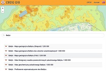
A quick overview of these services is provided by the CBDG GIS application, where you can search for them all by entering "Baltic" in the search field.
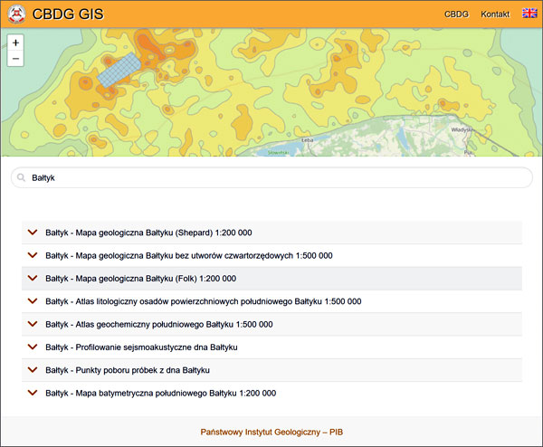
Marine geology data in the CBDG GIS application
Not all data is directly available through map services. Some of them can be downloaded as source files as map scans (JPG) and explanatory texts (PDF). For this purpose, a map service with indexes of as many as 13 maps is used:
- Geological map of the Baltic Sea (Shepard), 1:200,000
- Geoenvironmental map of Polish maritime areas, 1:250,000
- Geochemical Atlas of the South Baltic, 1:500,000
- Geological Atlas of the South Baltic, 1:500,000
- Lithological Atlas of surface sediments of the South Baltic,
- 1:500,000 Bathymetric map of the South Baltic Sea,
- 1:200,000 Pre-Quaternary geological map of the Baltic Sea, 1:500,000
- Geological map of the Baltic Sea (Folk), 1:200,000
- Geological map of the Baltic Sea (Folk) - Bay of Gdańsk, 1:100,000
- Geological map of the Baltic Sea (Folk) - Pomeranian Bay, 1:100,000
- Recognition and visualization of the geological structure of the Bay of Gdańsk, 1:50,000, 1:100,000
- Recognition and visualization of the geological structure of the Pomeranian Bay, 1:50,000
- 4D cartography in the coastal zone of the South Baltic Sea - stage 1, 1:10,000
When using the "Baltic map sheet index" service in the GeoLOG or GEOLOGIA map applications, it is enough to select an interesting fragment on the map and click the "See more" link in the results to download a set of source materials for each map via the CBGD Resources application.
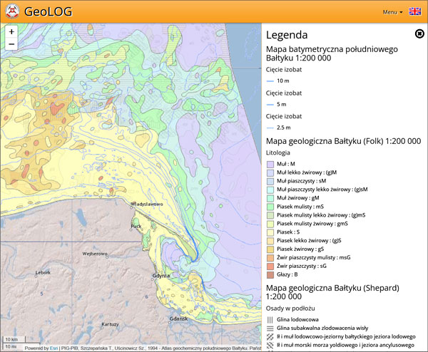
Marine geology data in the GeoLOG application
It should be noted that in the service with indexes, the visibility of only one information layer is enabled by default - "Geological map of the Baltic Sea (Shepard), 1:200,000". To download data for other maps, you need to enable their visibility in map applications. In some cases, it can even be more than 30 maps, cross-sections and texts.
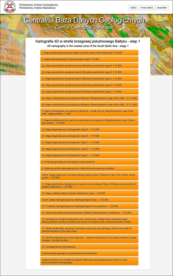
For example, for the study "4D cartography in the coastal zone of the South Baltic Sea" we have 19 attachments in 28 files plus links to source documentation in the CBDG Archival reports application:
Przykładowo dla opracowania "Kartografia 4D w strefie brzegowej południowego Bałtyku" jest to 19 załączników zapisanych w 28 plikach oraz dodatkowo przekierowania do wynikowych dokumentacji geologicznych w aplikacji CBDG Dokumenty.
A synthetic description of the available studies and links to download them are also available as the Product Catalog of marine geological cartography in the form of a PDF file.
 PGI-NRI offer
 Mineral resources of Poland
  Oil and Gas in Poland


 Subscribe to RSS Feed