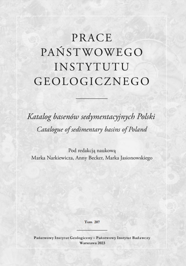
 A new publication containing the Catalogue of Sedimentary Basins of Poland has been published within the series PGI Works ('Prace PIG').
The study was prepared under the scientific editorship of Prof. Marek Narkiewicz, Dr. Anna Becker and Dr. Marek Jasionowski, and its authors are employees of the Polish Geological Institute-NRI and AGH University of Science and Technology in Cracow.
The elaboration of this catalogue is aimed at supporting precise regionalisation of data collected and analysed within the task of the Polish Geological Survey PGI-NRI entitled 'Integration of geological and reservoir data on hydrocarbon systems of Poland, their completion and analysis in the context of energy security'. Synthesis of data on hydrocarbons on the Polish territory, their current supplementation and analysis requires an appropriate regionalization scheme, which boils down to definition of oil pools. A prelude to such a scheme is the delineation of a more basic geological category – sedimentary basins. Within this framework, further, more detailed regional subdivisions can then be made, and geological and geophysical studies of basin analysis can be carried out in its petroleum and basic version.
The study distinguished 48 units covering formations from the Ediacaran to Pliocene. The presented basins are characterised by very differentiated outcrop areas – from 11 km2 (Zgorzelec Basin) to about 285,000 km2 (Mesozoic Basin of the Polish Lowlands).
Using ArcGIS software, the boundaries of the presented basins have been defined and illustrated. In addition, their structural plan, age and sedimentary fill characteristics, surface area, regional extent and genesis have been provided. Four regional categories have been distinguished: epicontinental basins, basins incorporated into the rock mass, mid-mountain basins and basins associated with terranes. Gaps in the recognition of some of the described basins mean that, in case of new research material, their definition may change, or they may be internally subdivided regionally or stratigraphically, or merged with neighbouring units.
The catalogue is founded on the basic data available in publications, given in a uniform layout for all highlighted basins. The descriptive part is accompanied by an online GIS database in the form of a .shp (shapefile) file in the 1992 coordinate system (1992 National Geodetic Coordinate System). This file, in addition to the geometry of the individual basins (vector polygon objects), also contains an attribute table, in which the name, area of the outcrop, structural plan, nature, age, source of information on the extent of the basin (publication, own data) and the names of the authors of the description are given.
The main part of the work, i.e., the descriptions of individual basins, is preceded by a general part, which discusses basic concepts and criteria for division as well as comments on the elements of the descriptions of the units – their specific metrics. In the 'Appendix' at the end of the publication, basic data on the described basins is summarised in the form of a table.
The catalogue is available online and a print edition of this publication is also planned. Please enjoy reading it!


 PGI-NRI offer
 Mineral resources of Poland
  Oil and Gas in Poland


 Subscribe to RSS Feed