


 In 2024, geological, hydrogeological and geoenvironmental maps at a scale of 1:50 000 will join the geological-engineering maps being produced for the whole country.
The first four pilot sheets: Gdańsk, Turek, Józefów and Zebrzydowice have already been developed. The implementation of a further 20 sheets will begin in 2024. The digital geological and engineering maps will be a strong support for the development of land use plans at regional, provincial and national levels.
In 2023, as part of the completed task of the state geological survey, a methodology for compiling, making available and updating the 'Geological and Engineering Map of Poland at a scale of 1:50 000 (MGIP)' was developed. According to its assumptions, the geological-engineering maps will be produced through the processes of spatial analysis, processing and editing of archival data used in the production of other serial geological maps at the same scale and data collected in the Geological-Engineering Database.
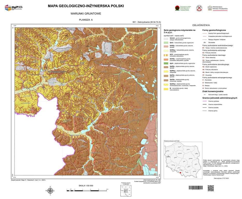
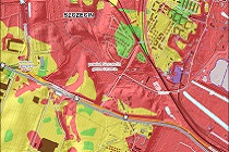
One of the sheets of the Geological-Engineering Map of Poland, Sheet A
In the absence of reliable information, field surveys will be carried out.
Four maps will be produced for each sheet:
- Ground conditions (geological-engineering series, geomorphological forms) - Sheet A,
- Water conditions (depth to first aquifer, hydrological and hydrogeological phenomena and processes) - Sheet B,
- Adverse geological and engineering phenomena and processes (geological and anthropogenic phenomena and processes) - Sheet C,
- Suitability of the site for construction (geological and engineering conditions, anticipated complexity of ground conditions) - Sheet D.
It is planned to produce a set of maps each year for an area of approximately 3,000 km2 (10 sheets). The selection of sheets will primarily take into account the areas to be developed for strategic investments resulting from government documents. The second criterion for the selection of sheets will be the set of map sheets produced: Detailed Geological Map of Poland (SMGP), Hydrogeological Map of Poland - First Aquifer (MHP-PPW) and Geoenvironmental Map of Poland (MGśP).
In the first phase of the task (2024-2025), geological and engineering maps will be produced for the border areas.
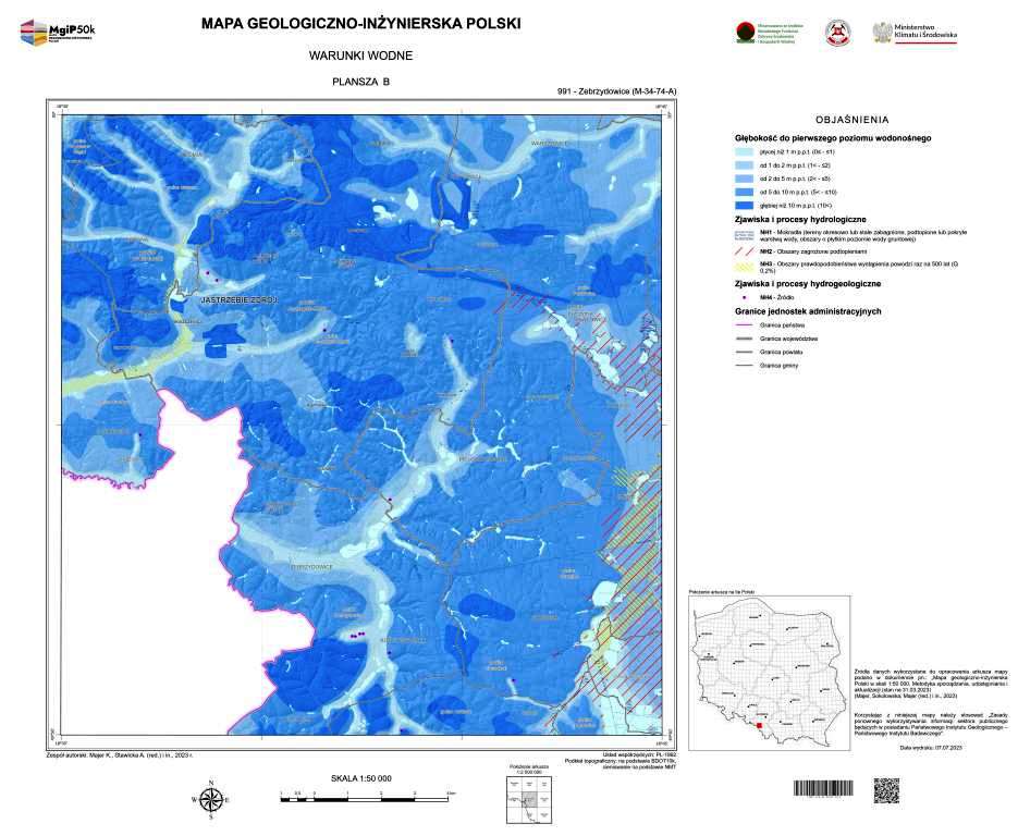
One of the sheets of the Geological-Engineering Map of Poland, Sheet B
The compiled maps, like all PGI serial cartographic studies, on a scale of 1:50,000 will be available to the public and will be made available on the PGI website as .pdf versions, while the GIS information layers that are components of the map will be made available as .wfs, .wms, .shp and will feed the spatial Database of Geological and Engineering Data (BDGI) and the Central Geological Database (CBDG).
Geological-engineering maps, which form the basis for a preliminary determination of geological-engineering conditions, support the implementation of investments and contribute to reducing investment risks due to geology. They are used by local authorities, companies in the geological and construction industry, investors, experts dealing with the broader geological environment in the context of land use and investment needs, as well as universities and scientific research institutes.
The first stage of the task (development of methodology and pilot sheets), completed in 2023, was approved by the Ministry of Climate and Environment and also received positive reviews from experts.
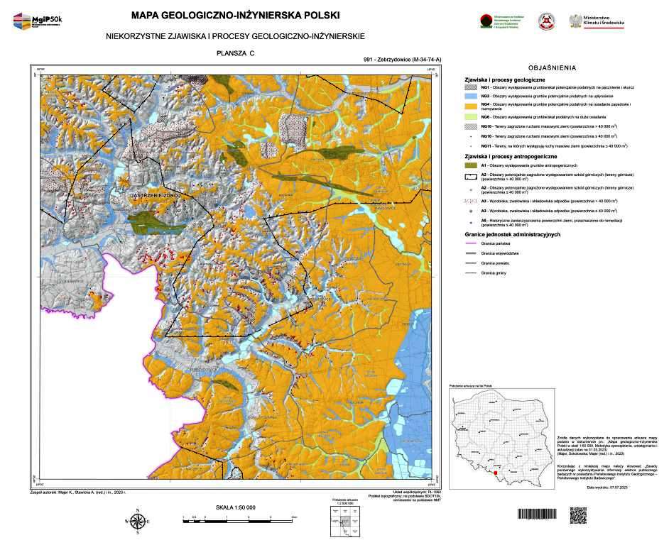
One of the sheets of the Geological-Engineering Map of Poland, Sheet C
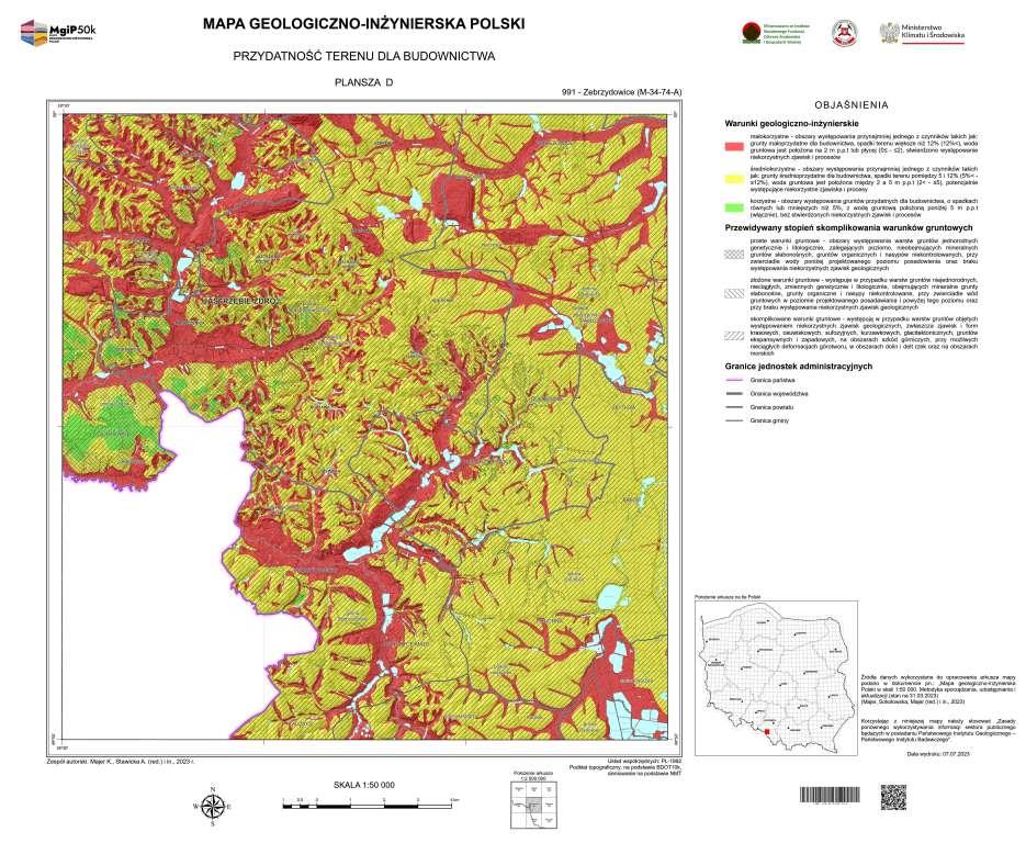
One of the sheets of the Geological-Engineering Map of Poland, Sheet D
The pilot and subsequent MGIP sheets are developed as part of the state geological survey's task, with funding from the National Fund for Environmental Protection and Water Management. The task manager is mgr Krzysztof Majer (Department of Geological Cartography).
Text: Anna Bagińska
 PGI-NRI offer
 Mineral resources of Poland
  Oil and Gas in Poland


 Subscribe to RSS Feed