


 From 28 April to 2 May 2025, Vienna hosted the annual General Assembly 2025 of the European Geosciences Union (EGU). This year, over 22,000 people participated in the event, and the Polish Geological Institute was represented by a group of experts from the Geological Cartography Department, the Raw Materials Policy Department, the Groundwater Investigation and Protection Department, and the Marine Geology Branch in Gdańsk.
PGI-NRI employees had a great opportunity to present the results of their work and exchange experiences with scientists from around the world.
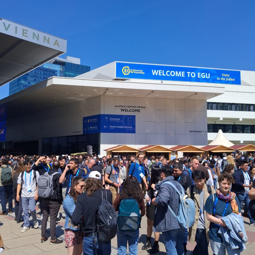
Event participants in front of the building entrance
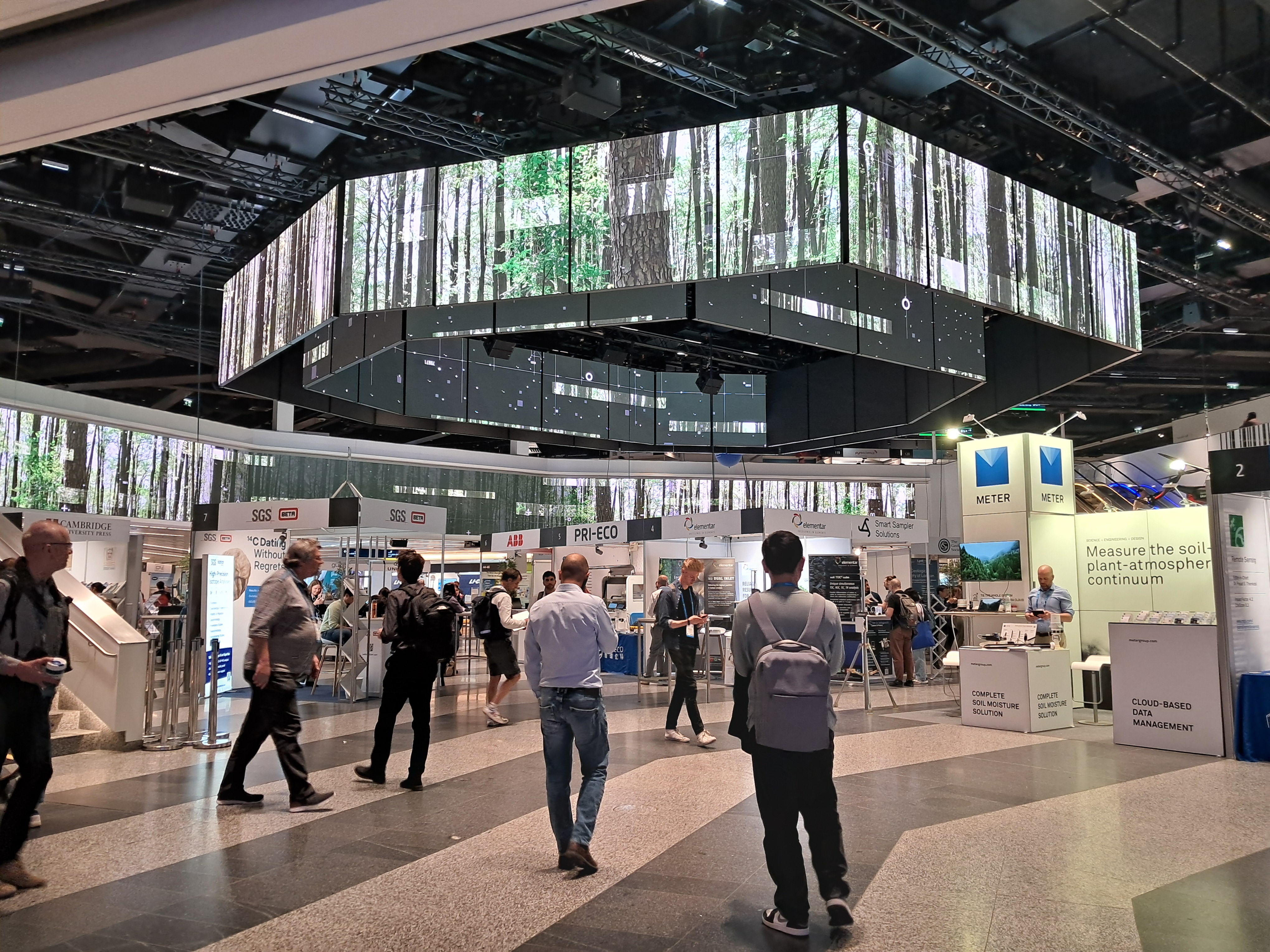
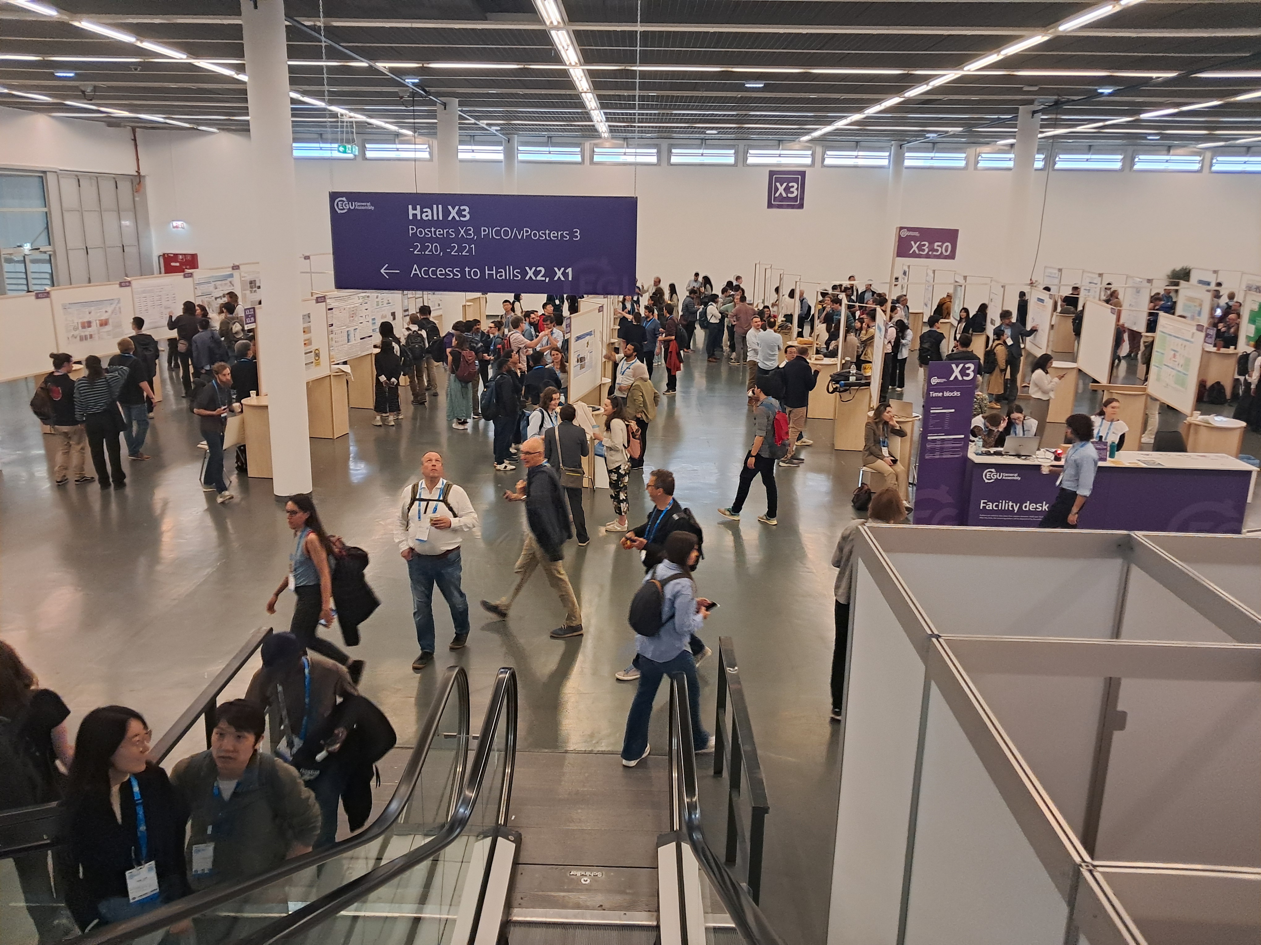
Pavilion with company promotional stands
During the presentation session entitled ‘Geoscientific Mapping, Modelling, Analysis and Visualisation: From Complex Data to Accessible Solutions,’ we presented issues related to the development of lithological dictionaries (presentation entitled ‘The geological Gordian knot – lithological challenges in the world of geological mapping’).
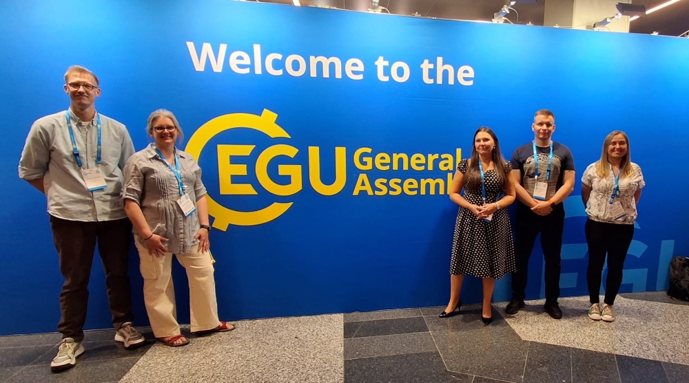
Some of the representatives of PIG-PIB
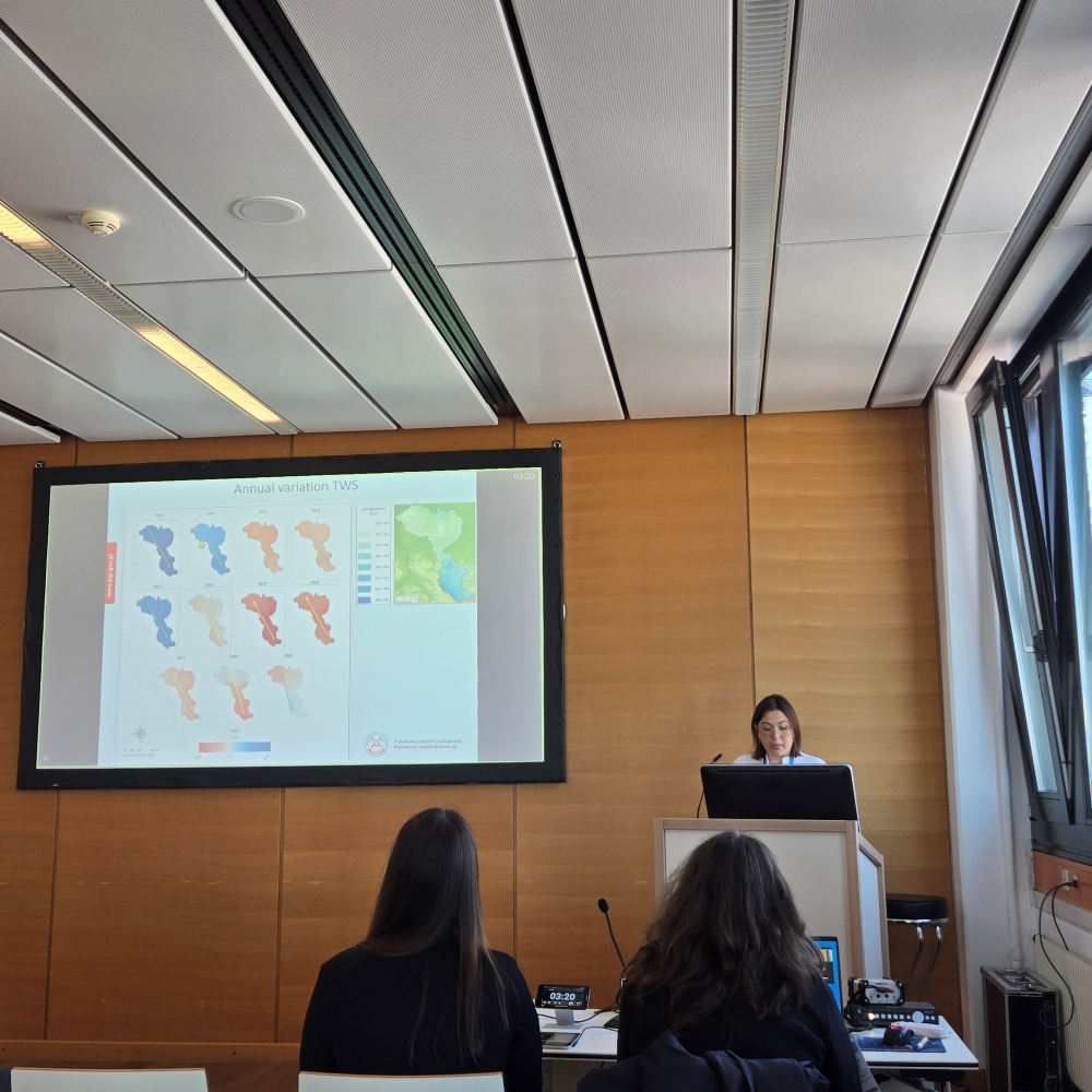
During the paper session entitled ‘Water balance and integrated water management in transboundary systems’, we presented issues related to the assessment of groundwater level dynamics using satellite gravimetric measurements (presentation entitled ‘Remote sensing's role in improving transboundary groundwater monitoring and sustainable management: The Bug Basin, Polish-Ukrainian-Belarusian Borderland’). During the poster session, we discussed the results of work related to the harmonisation of overview map data visualisation tested and implemented at PGI-NRI (poster entitled ‘Zoom in – zoom out challenge: Semantically and visually coherent overview geological maps of Poland’).
Presentation by Associate Professor Tatiana Solovey from PIG-PIB
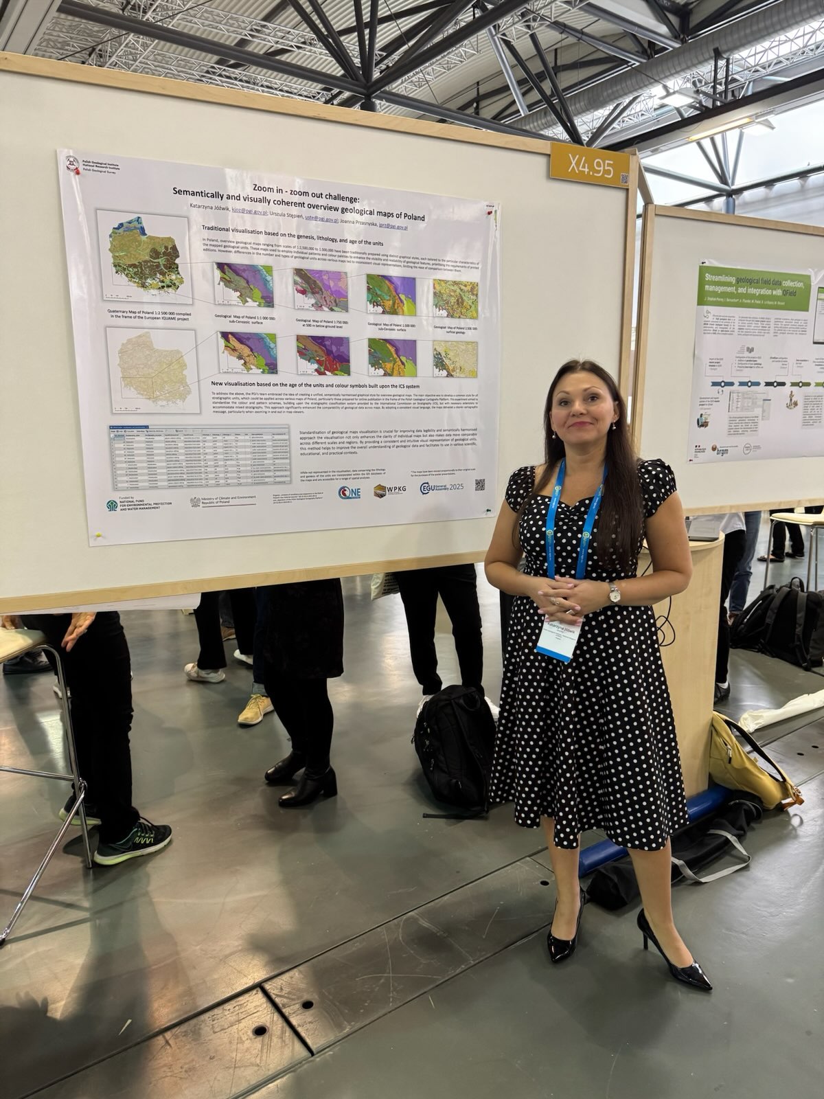
Katarzyna Jóźwik from PIG-PIB presenting her poster
Our representatives listened to a number of interesting presentations and held talks and consultations on data sharing, data presentation, implementation of FAIR (Findable, Accessible, Interoperable, Reusable) and TRUST (Transparency, Responsibility, User focus, Sustainability and Technology) rules.
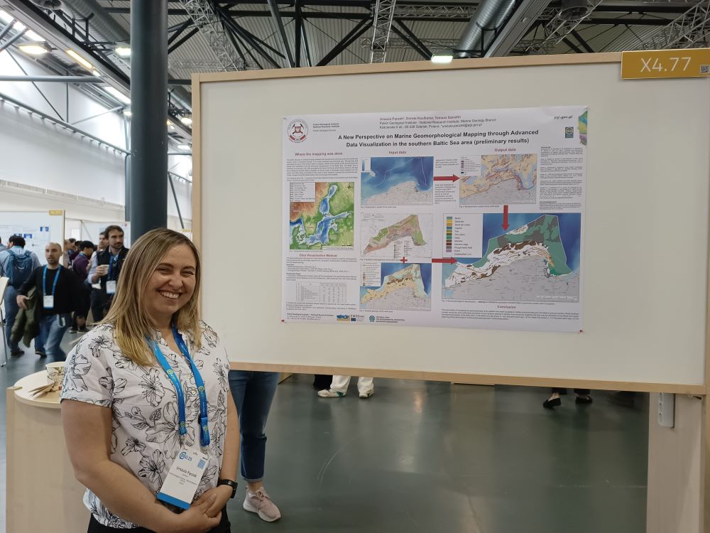
Urszula Pączek (PhD) from PIG-PIB presenting her poster
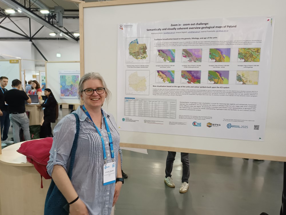
Urszula Stępień (PhD) z PIG-PIB from PIG-PIB presenting her poster
The initiatives and solutions presented will be a valuable source of knowledge and inspiration for projects carried out at PGI-NRI.
Representatives of the Institute also participated in a panel session devoted to large language models (LLM), during which sample research results using LLM were presented and issues related to the benefits and risks of using models not only in geological sciences were discussed. Attention was drawn to the issues of education and the level of substantive knowledge of current and future LLM users.
PIG-NRI employees also participated in paper and poster sessions on deposit geology, geochemistry and mineralogy. Noteworthy sessions included those on Archaic geology, modern rock dating methods, the origin and evolution of magmatic and hydrothermal deposits, and the geochemistry of trace elements in various types of mineral systems. A session devoted to the methodology of mineral deposit documentation (Innovative Approaches in Mineral Exploration: From Ore Forming Processes to New Exploration Methods) presented the results of research carried out by PGI-NRI as part of the SEMACRET programme: New data on Fe-Ti±V mineralisation from Ślęża and Strzegomiany-Kunów prospect, SW Poland: insights from geophysical surveys and geochemical exploration.
Event participants
The field of marine geology also saw many interesting presentations and posters on topics such as the dynamics and geohazards of coastal zones in relation to observed climate change and submarine geomorphology. Particularly interesting was the use of seismic surveys, geochronological tools for environmental reconstruction, and databases of extreme events.
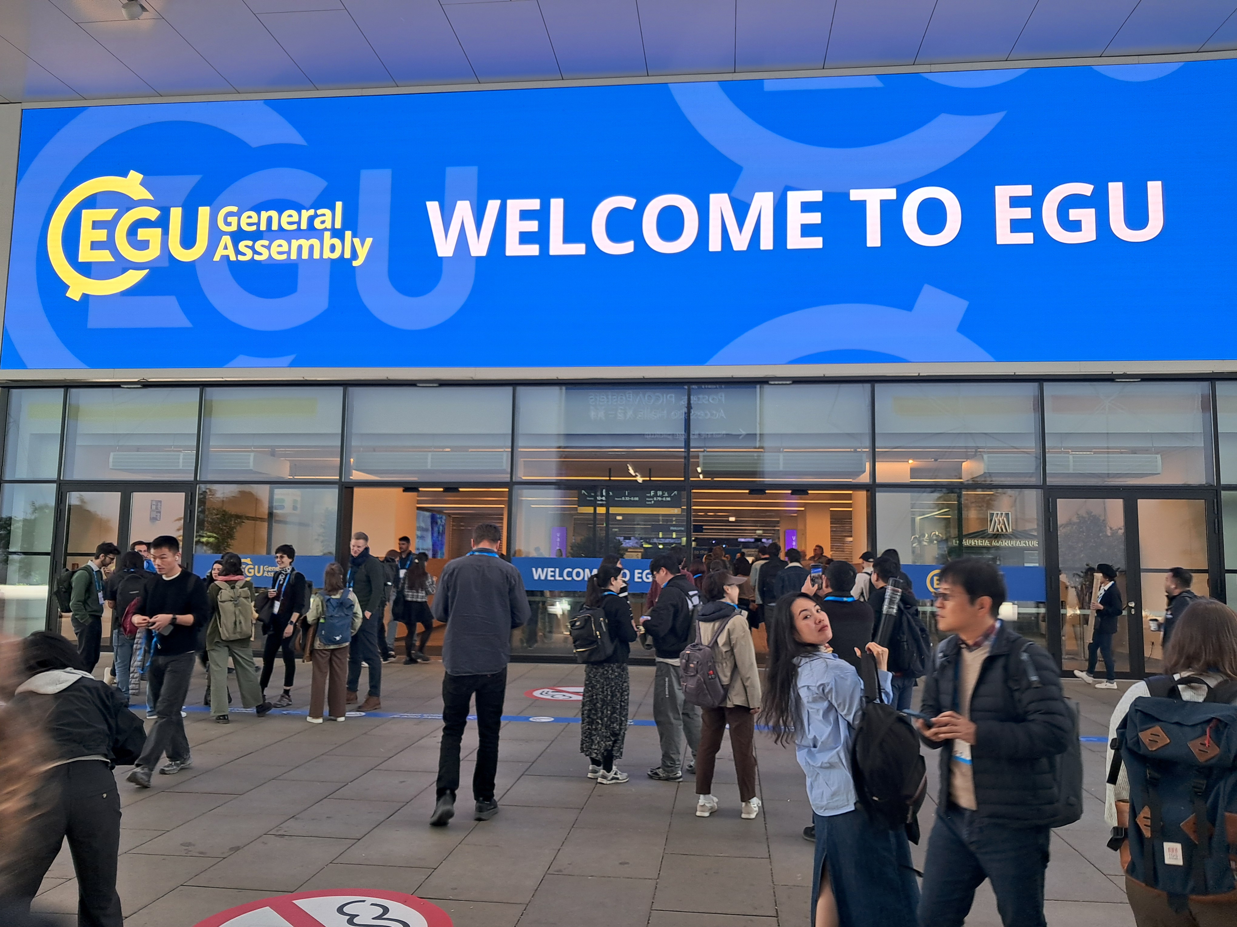
Entrance to the pavilion where the event took place
In the session entitled ‘Coastal dynamics and processes under changing climate and human activities’, we presented a research task of the state geological service concerning coastal zone research entitled ‘Innovative Holistic Approach to Studying and Managing the Coastal Zone Environment: A Case Study from the Southern Baltic Sea’. In the session entitled ‘Geological mapping in challenging environments: from ocean floors to outer space’, a poster entitled ‘A New Perspective on Marine Geomorphological Mapping through Advanced Data Visualisation in the southern Baltic Sea area (preliminary results)’ presented an approach to the geomorphological interpretation of the Baltic Sea bed using new tools.
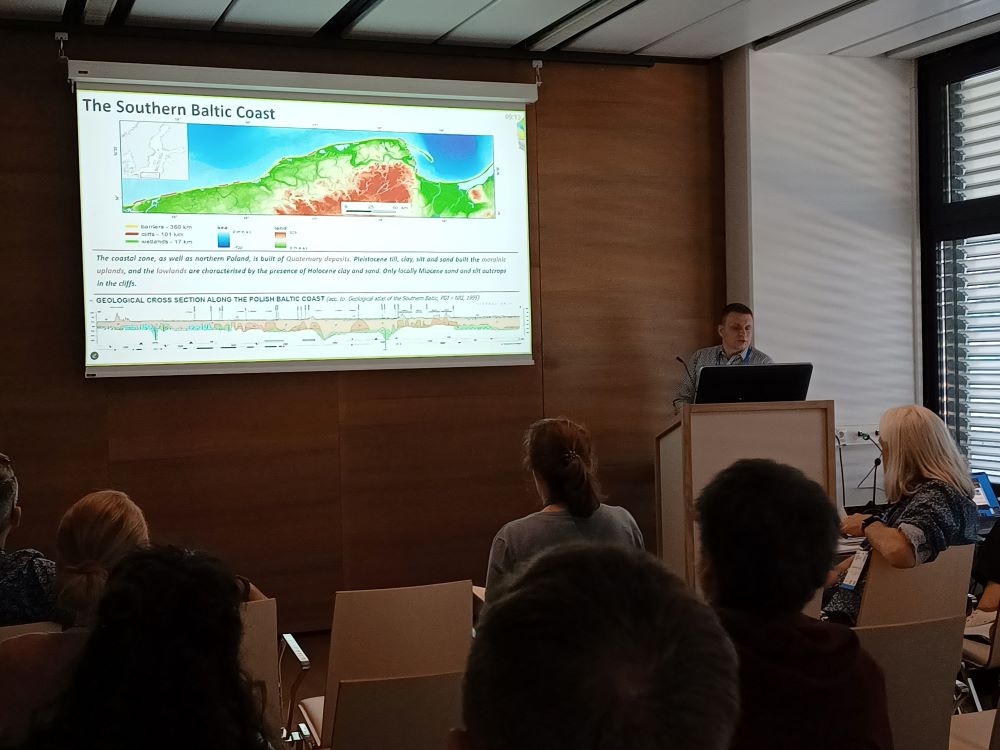
Grzegorz Uścinowicz (PhD) is delivering his presentation
Text and photos: Urszula Stępień, Tomasz Bieńko, Katarzyna Jóźwik, Urszula Pączek, Tatiana Solovey, Grzegorz Uścinowicz
 PGI-NRI offer
 Mineral resources of Poland
  Oil and Gas in Poland


 Subscribe to RSS Feed