


 On 17–22 August 2025 in Vancouver (Canada), the 32nd International Cartographic Conference took place – the world's most important forum for scientists, practitioners and institutions involved in cartography.
The event was organised by the International Cartographic Association (ICA) in cooperation with a local committee, in which the Canadian Institute of Geomatics (CIG) played a key role.
Over 700 participants from around the world, representing academia, public administration,and industry, took part in 11 plenary, 5 special, 98 technical and 4 poster sessions devoted to the latest trends in cartography. Discussions included artificial intelligence in geoinformation, map design, Arctic geovisualisation, inclusive cartography and cartographic heritage in the digital age.
As at many other contemporary sector events, artificial intelligence (AI) dominated a significant portion of the presentations. Speakers emphasised that although AI can generate maps based on user queries, it still produces numerous errors – from unintuitive colour choices to failing to take cultural or geopolitical conditions into account.
Experts unanimously pointed out that thoughtful symbolisation and map composition remain key to the clarity and comprehensibility of the map, regardless of the growing capabilities of algorithms.
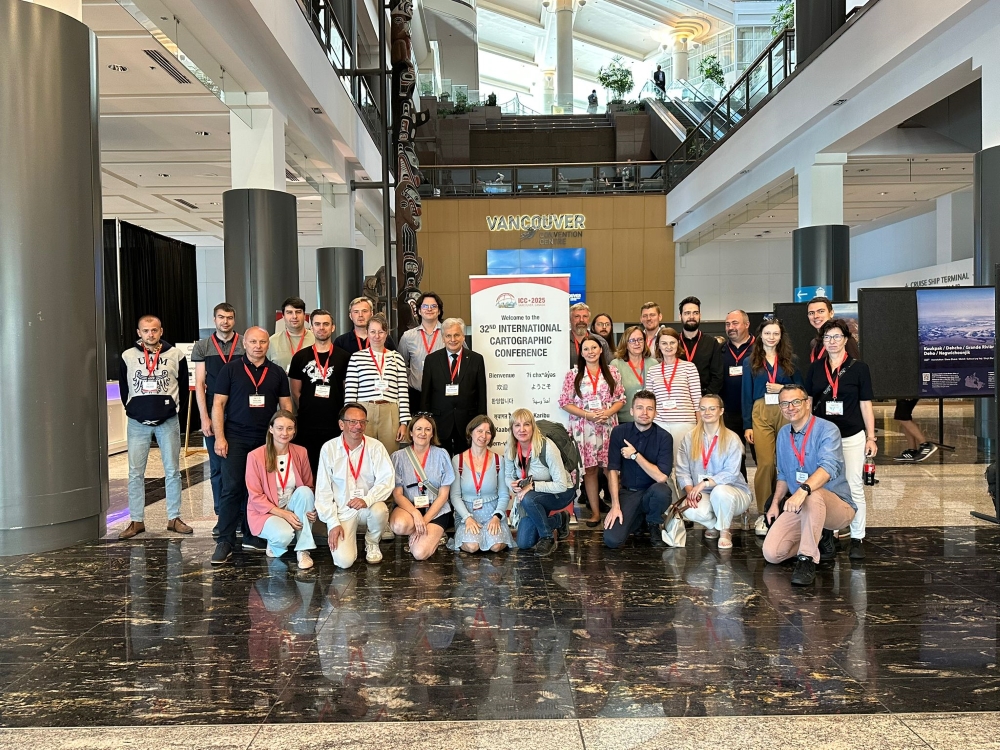
Representatives of Polish academic and research institutions at the 32nd International Cartographic Conference in Vancouver
PGI-NRI was represented by Katarzyna Jóźwik from the Geological Cartography Department of PGI-NRI, a member of the Polish National Committee for the International Cartographic Association. In the Thematic Cartography & Mapping session, she presented a paper entitled ‘Bridging Heritage and Innovation: The Digital Repository of Polish Geological Cartography’, presenting an initiative to create a central digital repository of Polish geological cartography. The repository, developed as part of the Joint Geological Cartography Platform (WPKG) project, contains detailed metadata, search tools and data management mechanisms. By making historical and contemporary geological data available in a way that allows for its reuse, the WPKG Repository supports research, education and decision-making processes, in accordance with the FAIR principles, the European RE-USE Directive and the Polish Act on Reuse of Public Sector Information.
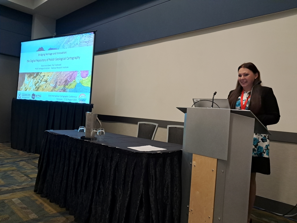
Katarzyna Jóźwik presents the digital repository of Polish geological cartography
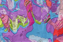
An integral part of the conference was the International Cartographic Exhibition, which presented 245 exhibits – maps, atlases and educational products from Europe, Asia, Africa, North America and Oceania. The Polish section of the exhibition featured a 3D printout of the Framework Geological Model of Poland, prepared by the PGI-NRI team (Tomasz Gogołek, Zbigniew Małolepszy, Ewa Szynkaruk).
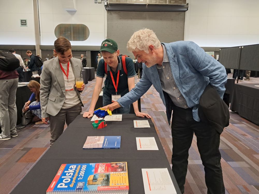
The 3D printout of the Framework Geological Model of Poland attracts the attention of conference participants
Abstracts of presentations from this year's conference are available at: https://icc2025.swoogo.com/icc2025/935844
The next International Cartographic Conference will be held on 18-23 July 2027 in Warsaw, and the local organising committee will be chaired by the University of Warsaw and the Warsaw University of Technology.
 PGI-NRI offer
 Mineral resources of Poland
  Oil and Gas in Poland


 Subscribe to RSS Feed