


 At the start of 2026, Polish Geological Institute – National Research Institute (PGI-NRI) commenced the third phase of the state geological service project ‘Geological survey of the seabed of Polish maritime areas – an ongoing project’, which will result in the completion of the first seven sheets of the new, serial ‘Geological Map of Polish Maritime Areas at a scale of 1:100,000’ (MgPOM).
This project is being led by the Marine Geology Branch of PGI-NRI in Gdańsk in cooperation with other specialist departments of the Institute, and work on the current phase will continue until 2030. The completion of the earlier stages of the project ‘Geological Survey of the Seabed in Polish Maritime Areas’ resulted in, amongst other things, the development of the MgPOM concept and guidelines, the compilation of the ‘Geo-environmental Map of Polish Maritime Areas at a scale of 1:500,000’, the creation of a File Repository, and the inventory of marine geological and geophysical data sources.
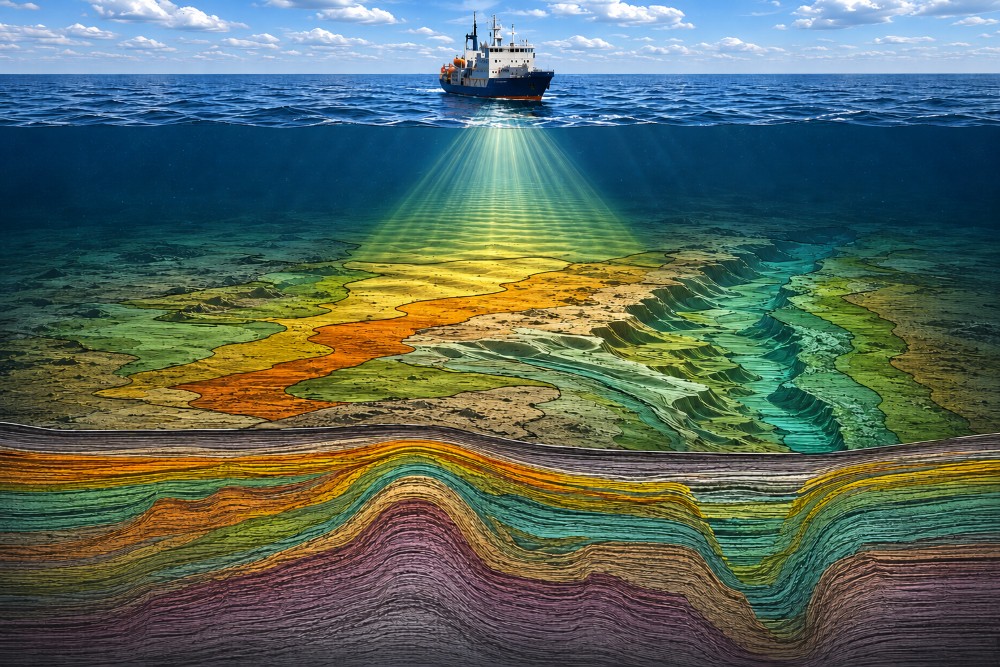
Geological mapping of the seabed – graphics generated using AI The need for a new map stem from the insufficient level of geological survey of Polish maritime areas, particularly in view of the growing importance of the maritime space – including the seabed – in the context of its development.
The MgPOM will map the geological structure of the seabed at a scale twice that of the ‘Geological Map of the Baltic Seabed at a scale of 1:200,000’ published between 1989 and 1995. Furthermore, the MgPOM will present a broader range of geological information obtained and processed using modern technologies that were previously unavailable. The map will be compiled using existing data, incorporating the results of supplementary survey cruises, laboratory tests and desk-based studies, conducted according to the prepared Instructions and approved geological work plans.
MgPOM will consist of thematic map compilations presenting the geology, lithology, geomorphology and structural geology of the Baltic sedimentary basement, selected grain-size parameters of surface sediments, the thickness of the modern sand and gravel cover, modern sedimentation processes, elements of engineering geology, mineral resources, geological and seismic cross-sections, as well as 3D geological models.
The MgPOM will include a text explaining the geological structure, together with the methodology and scope of the work and research performed, as well as will discuss broader and more general issues concerning the area under study.
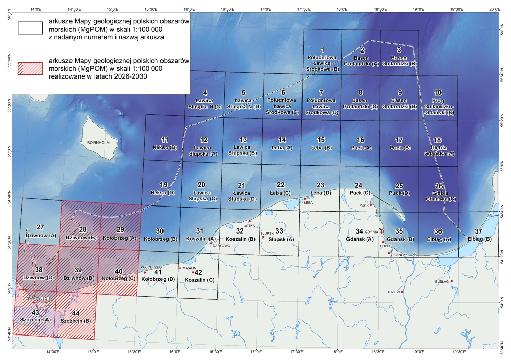
Index to the Geological Map of Polish Maritime Areas at a scale of 1:100,000
The map will be created using GIS technology in the form of a continuous geodatabase housed within the GeoMorze Marine Spatial Database. Collected geological data will be fed into other sector-specific databases integrated with the Central Geological Database (CBDG), including: the Neptun Marine Geological Database, the GeoEcho Marine Geophysical Database, the Geological and Engineering Database (BDGI) and the File Repository.
In addition, as part of the project, the ‘Geo-environmental Map of Polish Maritime Areas’ is currently being updated, alongside an ongoing inventory of data sources, as well as the acquisition and verification of marine geological and geophysical data.
Text: Tomasz Szarafin, Dorota Kaulbarsz
 PGI-NRI offer
 Mineral resources of Poland
  Oil and Gas in Poland


 Subscribe to RSS Feed