


Gravimetric techniques are a totally noninvasive surface geophysical method based on the theory of gravitation. The object of measurement is the vertical component of gravity. Changes in its values reflect a change in the density of the medium measured. Gravimetry can be used both in regional geology (regional and semi-detailed mapping) and local (detailed mapping) considerations, as well as in engineering geology issues (microgravity).
The territory of Poland is covered with semi-detailed gravimetric mapping with an average distance between the measurement points in the range of 550 m.
WE OFFER
Geophysical Methods Unit offers data processing, map visualization and gravity data interpretation:
Bouguer anomaly processing:
- Averaging
- Analytical upward and downward continuation
- Horizontal and vertical gradients
- Gradient axes
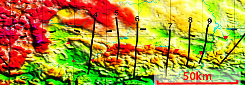
Gravity maps
Base maps and images (unprocessed)
Transformed maps and images:
- Using classical methods (local anomalies, horizontal and vertical derivatives, reduction to the pole etc.)
- Using unconventional visualization methods developed in the PGI
Quantitative and qualitative interpretation – 2D and 3D modelling
SOFTWARE
- GRAVMAG software, a package of U.S. Geological Survey computer programs
- Gravity modelling software of the British Geological Survey
- A package of GEOSOFT computer programs for modelling and qualitative interpretation of gravity and magnetic anomaly maps
CONTACT
Warsaw
Zdzisław Petecki, Dr
Energy Security Program
Tel. + 48 22 45 92 463
This email address is being protected from spambots. You need JavaScript enabled to view it.
Adam Wójcicki, Dr Eng.
Energy Security Program
Tel. +48 22 45 92 452
This email address is being protected from spambots. You need JavaScript enabled to view it.
Olga Rosowiecka, Dr Eng.
Energy Security Program
Tel. +48 22 45 92 535
Mobile 607 702 272
This email address is being protected from spambots. You need JavaScript enabled to view it.