


 In 2023, PGI-NRI completed a research project entitled 'Revision of stratigraphic subdivision and ranges of Middle Pleistocene glaciations in Western Polesia (Polish-Belarusian-Ukrainian borderland)', the aim of which was to delineate the ranges of Middle Pleistocene glaciations in the Polish-Belarusian-Ukrainian borderland in Western Polesia and to correlate the basic stratigraphic units with their counterparts in Western Europe.
The research included review mapping work and detailed sediment investigations at eight benchmark sites, two of which were located in Poland, three in Belarus and a further three in Ukraine. The sediments of each of these sites were studied in detail according to an established methodology. Lithofacies, petrographic analyses of glacial till, malacology and palynology were carried out. For sediment samples from the selected sites, optical stimulated luminescence (OSL) and radiocarbon dating were additionally performed.
Obtained results made it possible to verify the number of glaciations and their extents. Numerous documentary points showed a lack of glacial cover of sediments of the Mazovian/Alexandrian interglacial, which indicates a considerably limited extent of the ice sheet of the Oder/Pripetal/Dnieper glaciation in the studied area. Sediments previously associated with this glaciation were attributed to an older one (san2).
All outcomes of the project are important for revision of stratigraphy and palaeogeography of the Middle Pleistocene in Poland, which is particularly important for establishment of a reliable stratigraphic scheme for serial geological cartography. At the same time, they will facilitate correlation with the stratigraphic division of the Western European Quaternary and allow for linkage with the valid (formal) stratigraphic division of the Quaternary in the world.
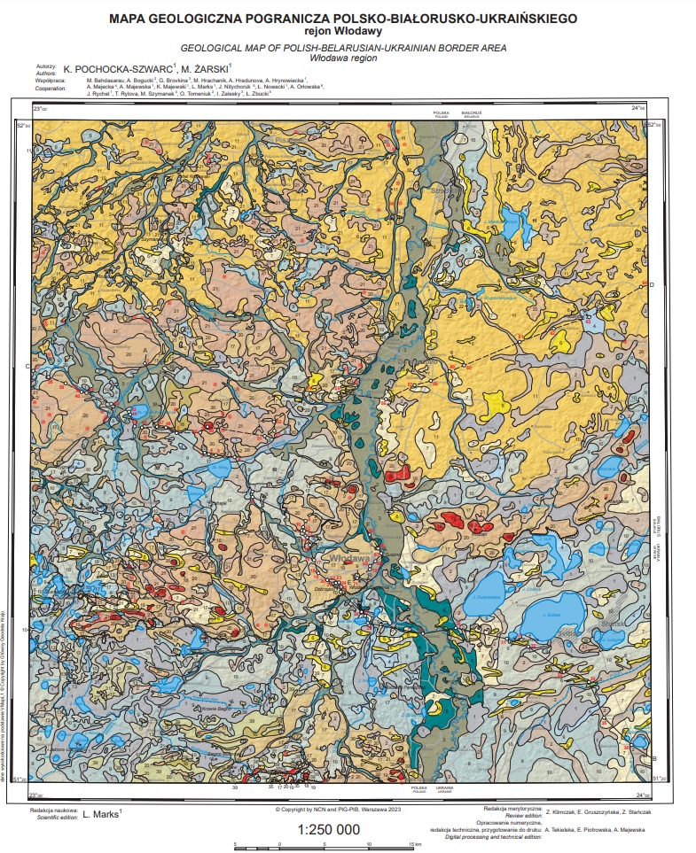
The project produced geological maps of surface sediments and Quaternary subsoil in the scale 1:250,000 for the Polish-Belarusian-Ukrainian borderland, transboundary geological cross-sections and rich explanatory text (153 pages; 47 figures, 12 tables, bibliography). The explanatory paper presents in detail geological structure of the studied area, especially in terms of stratigraphy and palaeogeography of the Quaternary, describes findings of all studies performed at benchmark stations and discusses karst phenomena and genesis of numerous lakes of the borderland.
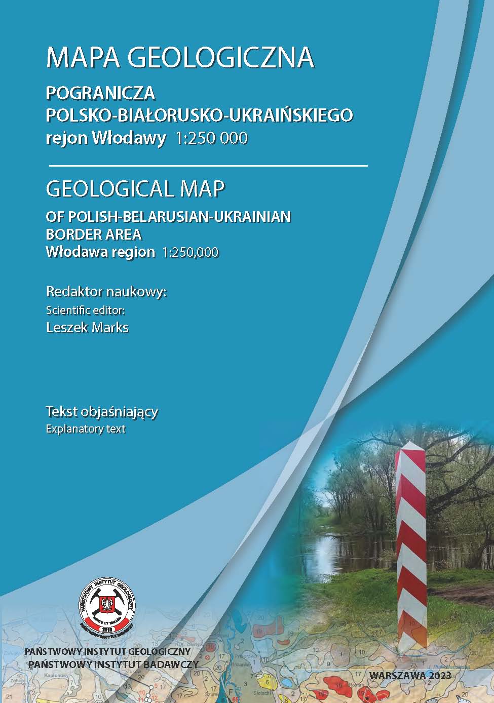
Publisher's cover
Downloadable materials:
pdf Surficial geological map of the PL-BY-UA borderland (5.59 MB)
pdf Geological Map of Quaternary Groundwater of PL-BY-UA Borderland (1.76 MB)
pdf Geological map of the PL-BY-UA borderland, explanatory text (10.10 MB)
The studies were carried out by a team of geologists from the Polish Geological Institute – National Research Institute, the Faculty of Geology of the University of Warsaw, Pope John Paul II State School of Higher Education in Biała Podlaska, Maria Curie-Skłodowska University (MCSU) and the Ivan Franko National University of Lviv. Until March 2022, there was also cooperation with geologists from Belarus (Brest State A.S. Pushkin University and National Academy of Sciences of Belarus in Minsk).
The research project entitled 'Revision of stratigraphic subdivision and ranges of Middle Pleistocene glaciations in Western Polesia (Polish-Belarusian-Ukrainian borderland)', was sponsored by the National Science Centre (project 2017/27/B/ST10/00165).
Text: Leszek Marks, Anna Bagińska
 PGI-NRI offer
 Mineral resources of Poland
  Oil and Gas in Poland


 Subscribe to RSS Feed