Staff from the National Geological Archives visited Portugal's National Laboratory of Energy and Geology (LNEG – Laboratório Nacional de Energia e Geologia)
 From 17 to 19 October 2023, a delegation from the National Geological Archives of PGI-NRI visited the Portugal's National Laboratory of Energy and Geology (LNEG), which acts as the National Geological Survey of Portugal.
Bańska PGP-4 in Szaflary. World's deepest geothermal borehole
 Drilling of the Bańska PGP-4 exploration well in Szaflary (Nowy Targ county, Małopolskie voivodship) began in April 2023.
Employees of the Upper Silesian Branch of PGI-PIB visited Romania
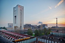 From 16 to 19 October 2023, staff from the Upper Silesia Branch of PGI-PIB were in Bucharest, where they attended the REM project partners' meeting and the 11th REM project.
Project entitled 'Methods for investigations and selection of geotechnical solutions for road investments' (RID II) is launched
 We are pleased to announce that on 22 August 2023, we signed a contract for the project entitled 'Methods for investigations and selection of geotechnical solutions for road investments'.
 PGI-NRI offer
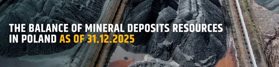
 Mineral resources of Poland
  Oil and Gas in Poland
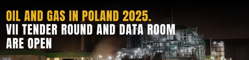


 Subscribe to RSS Feed