Agreement on cooperation between PGI-NRI and the National Geological Service of Mongolia
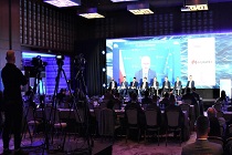
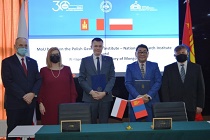 On November 24, 2021, a Memorandum of Cooperation between the Polish Geological Institute - National Research Institute (PGI-NRI) and the National Geological Service of Mongolia (NGS) was signed in the capital city of Ulan Bator.
PGI-NRI at the EuroPOWER and RES Power Conference
 The 34th EuroPOWER Energy Conference combined with the 4th RES Power Congress was held in Warsaw on the 17-18 of November, 2021. The debates held during EuroPower and RES POWER included issues related to the strategy for energy transition, the prospects for the development of hydrogen technologies, the modernization and expansion of distribution networks, as well as the development of wind power and large-scale photovoltaic farms.
The Scientific Council of PGI-NRI has awarded a postdoctoral degree to Anna Mader, Ph.D.
 We are pleased to announce that by resolution no. 57/XI/2021 dated November 10, 2021 The Scientific Council of the Polish Geological Institute - NRI conferred on Anna Mader, Ph.D., of the Świętokrzyskie Branch in Kielce, the academic degree of Doctor of Science in the field of Natural Sciences, in the discipline of Earth and Environmental Sciences.
Water used for health benefits. Prospects for the use of new curative water deposits in the Carpathians and Carpathian Foredeep
 There is a lot of truth in the Polish proverb that "good water makes you healthy". This is evidenced by the growing popularity of health resorts offering treatment therapies with the use of mineral waters. Poland occupies the seventh place in Europe as regards the number of health resorts, 2/3 of which are located in the southern part of the country - in the Carpathians, the Carpathian Foredeep and the Sudetes.
 PGI-NRI offer
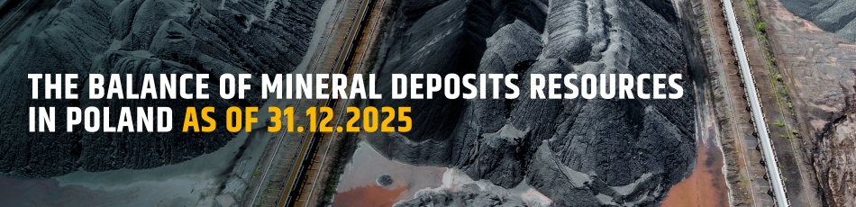
 Mineral resources of Poland
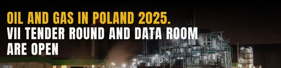
  Oil and Gas in Poland


 Subscribe to RSS Feed