
Acreage: 220.93 km2; 54,593 acres
Concession block: 477
Coordinates
| No. point | x [PUWG92] | y [PUWG92] |
| 1 | 158815,50 | 739398.07 |
| 2 | 159474.24 | 754616.81 |
| 3 | 141287.73 | 755460.15 |
| Pomiędzy punktami 3 a 4 granica koncesji biegnie po granicy państwa | ||
| 4 | 146816.39 | 739917.45 |
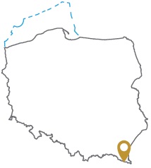
Location
Podkarpackie province:
- Bieszczady county, communes: Lutowiska (participation in the concession block: 4.10%), Czarna (2.77%)
- Lesko county, communes: Cisna (91.67%), Baligród (1.47%)
Duration
Concession for 10 years, including:
- prospecting and exploration phase (5 years)
- extracting phase - after the investment decision
Petroleum play
I – conventional in the Carpathian flysch
II – unconventional in the Carpathian flysch
Source rocks
I, II – Menilite Beds, Cieszyn Beds, Wierzowice Beds, Spas Beds, Istebna Shale, unrecognized basement
The proposed minimum work program of prospecting and exploration phase
Stage I (12 months) – interpretation and analyses of the archival geological data
Stage II (12 months) – execution of 2D seismic survey (85 km)
Stage III (24 months) – drilling of one well to the minimum depth of 3000 m and maximum depth of 6000 (TVD) with obligatory coring of perspective intervals
Stage IV (12 months) – analysis of the obtained data